Imagine your job is researching seeds, but you can only pick them up one at a time to collect your data sample.
But once a year a giant vacuum comes around to collect and count them for you.
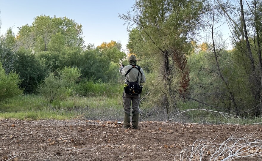
That’s probably a bad analogy to explain the boon LIDAR and high-resolution photos collected from the air will give Bureau of Reclamation researchers managing dozens of species in 18 conservation areas between Hoover Dam and the U.S. Mexico border.
Terry Murphy is Manger of the Bureau’s Multi-Species Conservation Program. Murphy spoke to Arizona Edition along with group manager, Jimmy Knowles.
The Bureau’s Lower Colorado Multi-Species Conservation program manages habitat for 27 species along the Colorado River. And while working on the ground in those areas is important, Murphy says you have to measure a lot of individual trees to get the widest data set possible.
This month an annual project will use a sensing unit and camera mounted on an airplane to get up close to a lot more trees, and give researchers a bigger, and more detailed, picture of the health of particular region.